

Cyclone Arnab turns very severe, set to cross Andhra coast near Yanam on Wednesday
IMD says the storm will hit the coast between Bapatla and Visakhapatnam by Wednesday forenoon with winds up to 140 km/h; red alerts, evacuations and train cancellations follow.
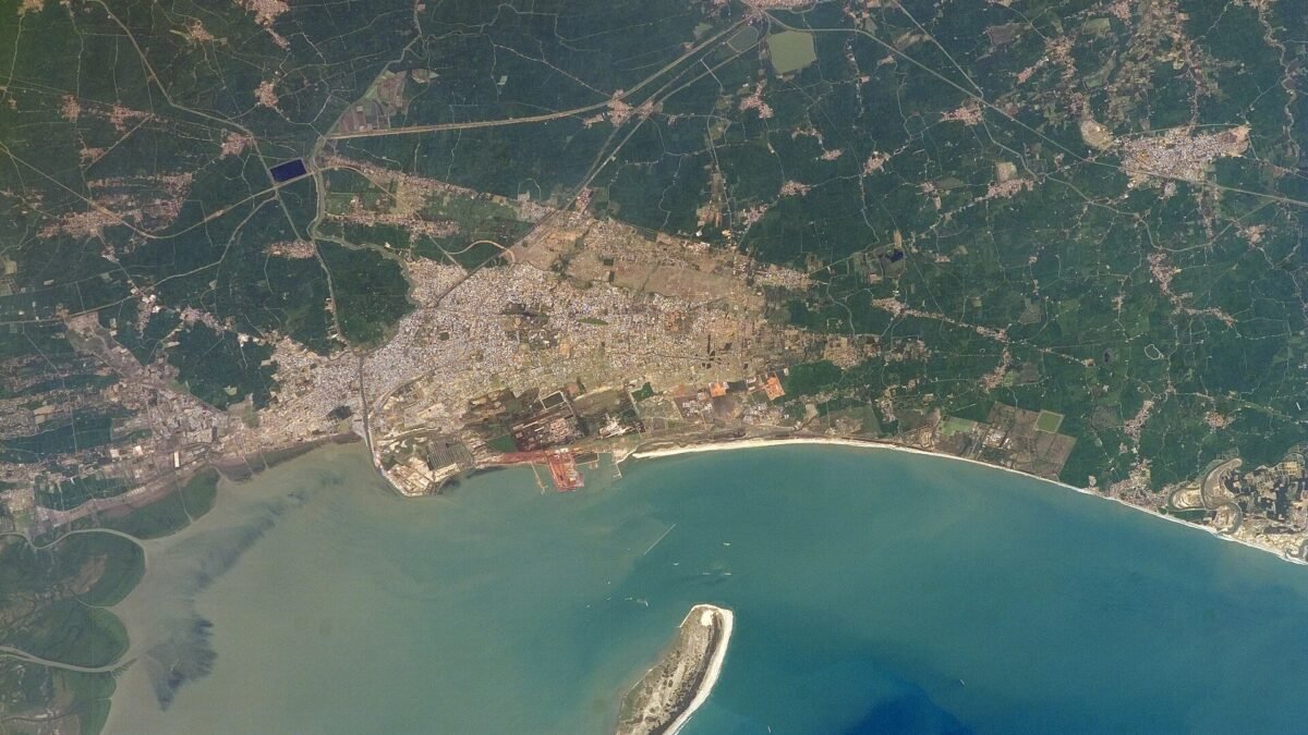
Update (28 October): Cyclone Arnab began crossing the coast near Yanam early on Wednesday. Read the landfall-day report: Cyclone Arnab crosses Andhra coast near Yanam; landfall nearly over, winds easing, says IMD.
Cyclone Arnab strengthened into a very severe cyclonic storm over the west-central Bay of Bengal on Monday night and is now closing in on the Andhra Pradesh coast, the India Meteorological Department (IMD) said. The storm is forecast to cross the Andhra Pradesh and Yanam coasts between Bapatla and Visakhapatnam, close to Yanam, by the forenoon of Wednesday, 28 October, with sustained winds of 115–125 km/h gusting to 140 km/h.
The upgrade marks a step up from Monday, when the system was a cyclonic storm expected to intensify gradually. In its 5:30 am bulletin on Tuesday, 27 October, the IMD placed the storm’s centre roughly 260 km southeast of Visakhapatnam and about 300 km east-southeast of Kakinada, according to an IANS report; The Week, citing the same bulletin, gave slightly larger distances of 300 km and 360 km. It was also about 380 km south of Gopalpur in Odisha. The system covered around 22 km/h over the previous six hours and is expected to move west-northwest before turning northwest towards the coast. The Doppler weather radar at Visakhapatnam is tracking it.
Red alerts and storm surge
The IMD has put Kakinada, East Godavari, West Godavari and Konaseema districts under a red alert, with extremely heavy rainfall also likely over Eluru, The Week reported. ETV Bharat said 12 Andhra Pradesh districts are on red alert for Wednesday. Heavy to very heavy rain is forecast across north coastal districts such as Srikakulam, Vizianagaram, Visakhapatnam and Anakapalli, and further south in Krishna, NTR, Guntur and Bapatla. A flash flood alert is in force for the coastal belt. The IMD has warned of a storm surge of 1 to 1.5 metres above the astronomical tide, highest near Kakinada and Yanam.
The impact has already begun. The Andhra Pradesh State Disaster Management Authority (APSDMA) reported heavy rain and gusty winds in Srikakulam, along with rough seas and coastal erosion at Uppada beach in Kakinada district.
Evacuations, closures and NDRF teams
About 5.7 lakh people have been identified as vulnerable in Andhra Pradesh, and evacuations are under way in more than 2,100 villages and wards, India TV reported. Authorities have arranged to move 4,711 pregnant women to health facilities. APSDMA managing director Prakhar Jain said 1,763 cyclone shelters have been identified. Families from Konaseema and fishing hamlets in Uppalaguptam mandal have been shifted, and around 400 people from Nakkapalli were moved to shelters. The state has released Rs 27 crore to 20 districts, including Rs 2 crore each to seven of the worst-exposed districts.
Fifteen NDRF teams are stationed at Kakinada, Amalapuram, Rajahmundry, Eluru, Narsapuram, Machilipatnam, Nakkapalli and nearby locations, with more on standby. Educational institutions in affected parts of Andhra Pradesh are closed on Tuesday and Wednesday, beaches have been shut and traffic on coastal roads is being halted from Tuesday afternoon. South Coast Railway has cancelled 53 local and express trains scheduled for 27 and 28 October, according to India TV; passengers are advised to check status before travel. Residents can report problems on the state’s Mana Mitra WhatsApp line, 9552300009.
Odisha on alert
In Odisha, schools, colleges and anganwadi centres will stay shut on 28 and 29 October in Ganjam, Gajapati, Rayagada, Malkangiri, Koraput and Nabarangpur. People in vulnerable areas are being moved to shelters, sea fishing has been banned and tourists have been barred from beaches, waterfalls and hill spots. State disaster management minister Suresh Pujari said the government was working towards its zero-casualty goal.
Forecasters have cautioned that the track could still shift, with some models showing a crossing further south. The IMD is expected to issue updated bulletins every few hours until landfall on Wednesday.
Sources
- IANS via Punjab Kesari: ‘Arnab’ turns into very severe cyclone; impact begins along Andhra coast
- The Week: Cyclone Arnab: Coastal Andhra to see extremely heavy rains, winds upto 125 kmph; flood alert issued
- ETV Bharat: Cyclone Arnab LIVE: Very severe storm closes in on Andhra Pradesh coast
- India TV: Cyclone Arnab turns into very severe storm, landfall tomorrow; Andhra Pradesh, Odisha on alert
- The News Minute: Cyclone Arnab explainer: How will it affect Andhra Pradesh, Odisha and Tamil Nadu?
Related

Cyclone Arnab crosses Andhra coast near Yanam; landfall nearly over, winds easing, says IMD

New annual toll pass for residents near NH plazas at Rs 1,500 or Rs 3,000 notified
